
Lake Contour Maps

These lake contour maps provide structural visuals of the underwater landscapes in Nebraska.

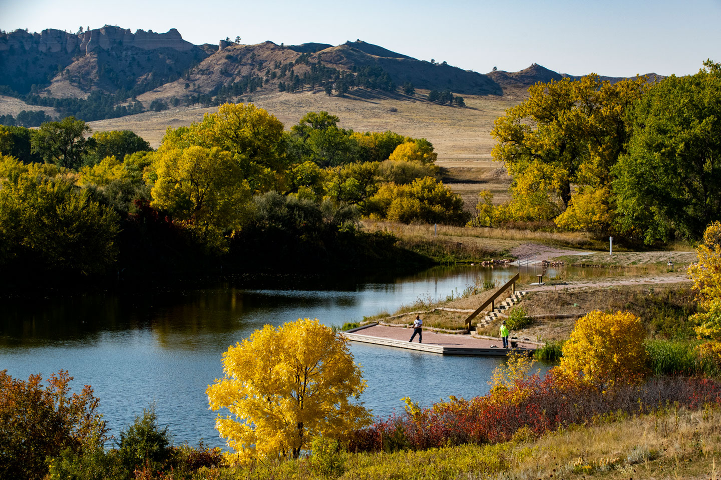
How deep is the water here? This is a common question for anyone who enjoys time near or on the water. The underwater landscape of lakes are mapped for a lot of reasons – for fisherman interested in structure attractive to their favorite species, for hunters looking for areas attractive to waterfowl, for water managers needing to know how much water is being stored, and for biologists looking to improve aquatic conditions for the creatures that lurk beneath the waves as well as those who seek them by boat or land. Here is a great source of information on waters where bathymetric surveys have been completed.

Interactive lake contour map

Use this interactive map to navigate across Nebraska and explore 125+ mapped bodies of water. Select a specific location to view summary data sheets, a detailed map and volume information.

Related content

Where to Fish

Where to Fish

Nebraska provides plentiful & diverse fishing opportunities for anglers. Find our top resources.

Read More
Fishing Guides and Reports

Fishing Guides and Reports

Our guides & reports give information on rules, fish stockings, fish size and top fishing spots.

Read More
Nebraska Fish

Nebraska Fish

Learn about species of Nebraska fish.

Read More

Fishing Permits

Purchase stamps, resident and non-resident fishing permits here.