Jon Soper
Program Manager
402-471-5569
Gerry Steinauer
Botanist/Ecologist
402-694-2498
The comprehensive source for information on the status and location of Nebraska’s rarest species.
The mission of the Nebraska Natural Heritage Program is to develop, manage and distribute scientific information critical to the conservation of Nebraska’s biological diversity. We are the only comprehensive source of information on the status and location of Nebraska’s rarest and most threatened species and natural communities. We share information with a wide variety of partners and stakeholders to ensure that Nebraska’s native flora and fauna are conserved. Data and information from the Heritage Program was an integral part of the development of the Nebraska Natural Legacy Project.
The Program is a contributing member of NatureServe, a network connecting science with conservation, consisting of natural heritage programs found across the United States, Canada and Latin America. The Nebraska Natural Heritage Program has been providing scientific information to inform conservation and land use decisions in Nebraska since 1987. Information collected and maintained by the Program aids in the conservation of Nebraska’s biological diversity in a number of ways.
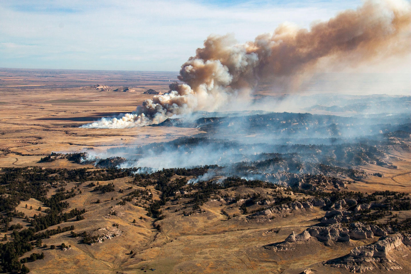
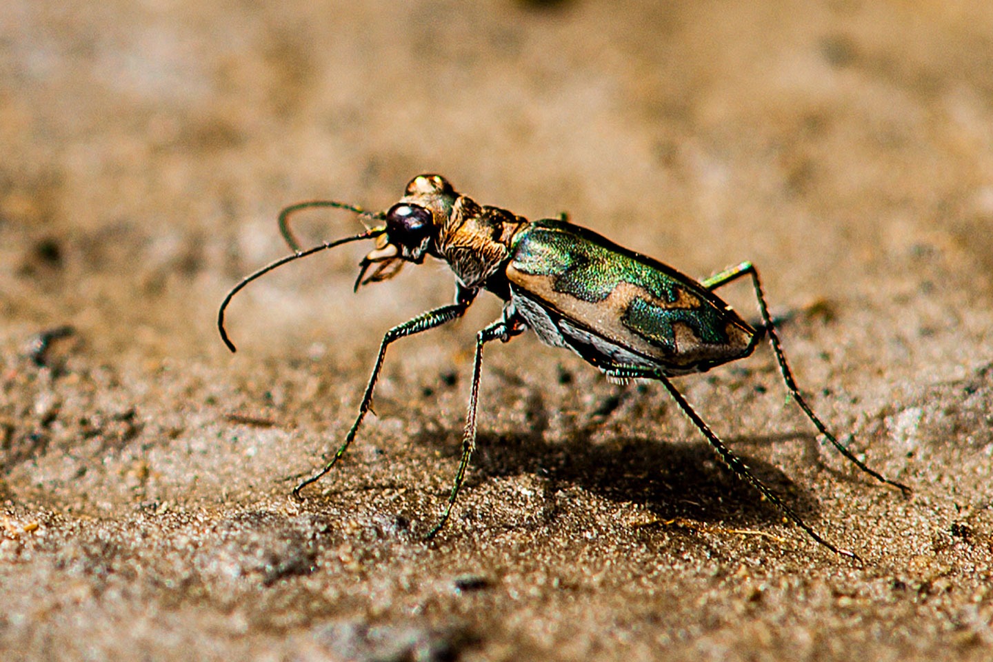
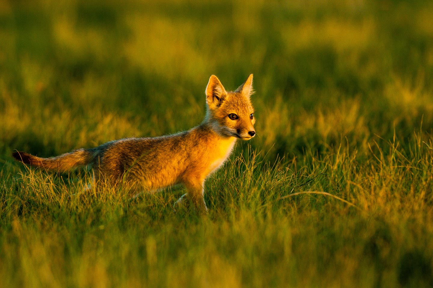
The Nebraska Natural Heritage Program tracks more than 800 species and natural communities, focusing on those that are most at risk of extinction or decline. Download the list of species, including their conservation status and tracking information below.
The Nebraska Natural Heritage Program, internally and through collaboration with partners, produces a variety of products for use in the conservation of Nebraska’s natural heritage. Use the links below or contact Chelsea Forehead for more information.
Select an at-risk species below to download a PDF range map. Spatial data for listed species’ ranges, for use with GIS software, is also located below.
Download spatial data for listed species’ ranges, for use with GIS software.
Additional information
For range maps of other at-risk species, please email Chelsea Forehead.
View range maps for natural communities in Terrestrial Ecological Systems and Natural Communities of Nebraska by Steven B. Rolfsmeier and Gerry Steinauer.
Download plant community descriptions
Download plant community range maps
The following resources are available for download:
Download biologically unique landscapes map
Download spatial data for use with GIS software
Field survey forms are available for download as Word documents.
Download element occurrence ranking instructions
Download rare animal survey form
Download ecological community survey form
Download rare plant survey form
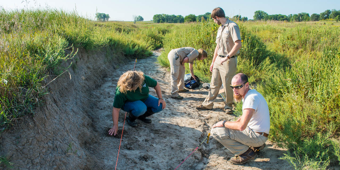
The Nebraska Natural Heritage Program provides data on rare and at-risk species and natural communities. Heritage staff works to keep the database updated to provide partners and clients with the most up-to-date data possible. The database does not, however, represent a comprehensive inventory of all at-risk species in the state and should not be used to replace on-site surveys. Field verification by a qualified biologist at the appropriate time of year is necessary to detect all species of concern actually present in an area. Please keep in mind that our database is only as robust as the data we receive. We encourage you to help us maintain the quality of our database.
Data are available in a variety of formats, including simple Excel spreadsheets and GIS shapefiles, in varying degrees of detail, and for areas ranging in size. Fees are charged to cover staff time in responding to such requests. Fees may be waived for non-profit organizations and educational institutions. We strive to answer all data requests within 2 weeks, although complex data requests and current workloads occasionally cause longer response times. Data requests may be subject to a data license agreement. Contact Chelsea Forehead to make a data request. Providing a GIS shapefile of the area of interest will expedite the request.
The Nebraska Conservation and Environmental Review Tool is an ArcGIS Server based interactive mapping application that anyone can use to map the conservation status and conservation values of lands.
The website offers:
All users can:
Registered users can also:
As part of a west-wide effort led by the Western Governors’ Association and the Western Association of Fish and Wildlife Agencies, the Nebraska Game and Parks Commission synthesized information related to habitat for at-risk native species and natural plant communities. The result is coarse-scale, landscape-level information that can be used by anyone for land-use planning. The product of this west-wide collaboration is called the Crucial Habitat Assessment Tool (CHAT). The information, provided through an online GIS-mapping tool, is non-regulatory and gives project planners and the public access to credible scientific data on a broad scale for use in project analysis, siting, and planning.
The CHAT (Crucial Habitat Assessment Tool):
Jon Soper
Program Manager
402-471-5569
Gerry Steinauer
Botanist/Ecologist
402-694-2498
Shaun Dunn
Zoologist
402-471-5419
Colleen Rothe-Groleau
Data Management Technician
402-471-5500
Chelsea Forehead
Data Manager/GIS Specialist
402-471-5427
About Nebraska Game & Parks
We’re a family of passionate, innovative professionals who work together to connect people to the natural world and support conservation in Nebraska.