Open GIS data
Find authoritative spatial data related to conservation, fish and wildlife management, parks and outdoor recreation in Nebraska available for download and use.
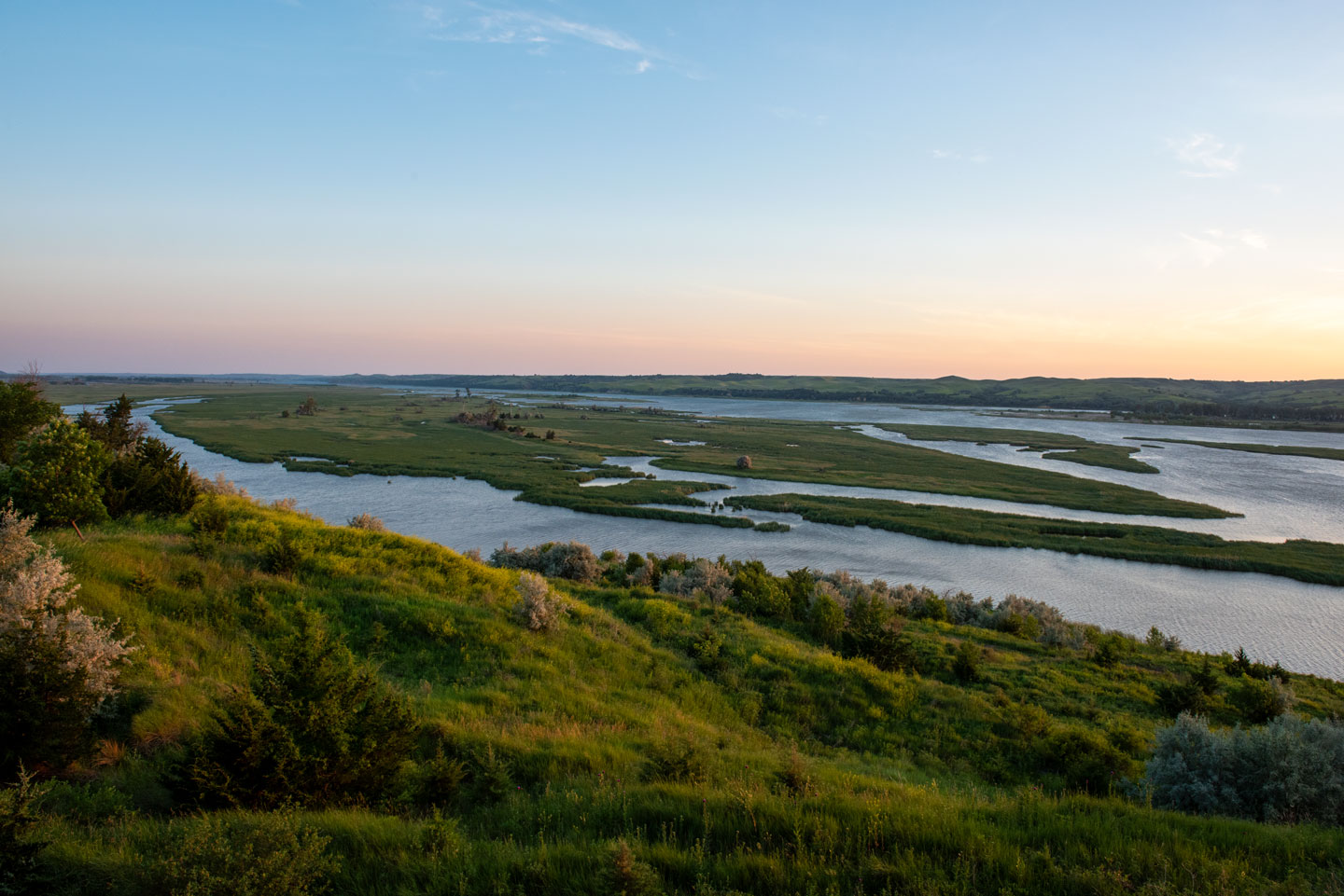
The Nebraska Game and Parks Commission develops a number of useful maps to help you find and enjoy Nebraska’s great outdoor resources.
The following geographic information systems maps provide an interactive and in-depth look beyond our standard PDF maps. Check back frequently as updates are made continually by our GIS team.
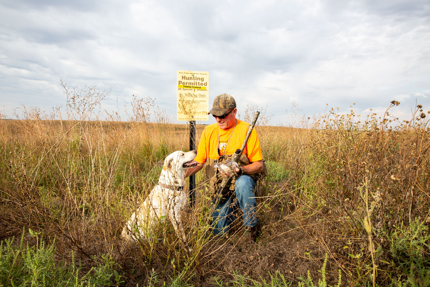
Find public access sites statewide; where private land is listed, permission must be gained to hunt or fish.
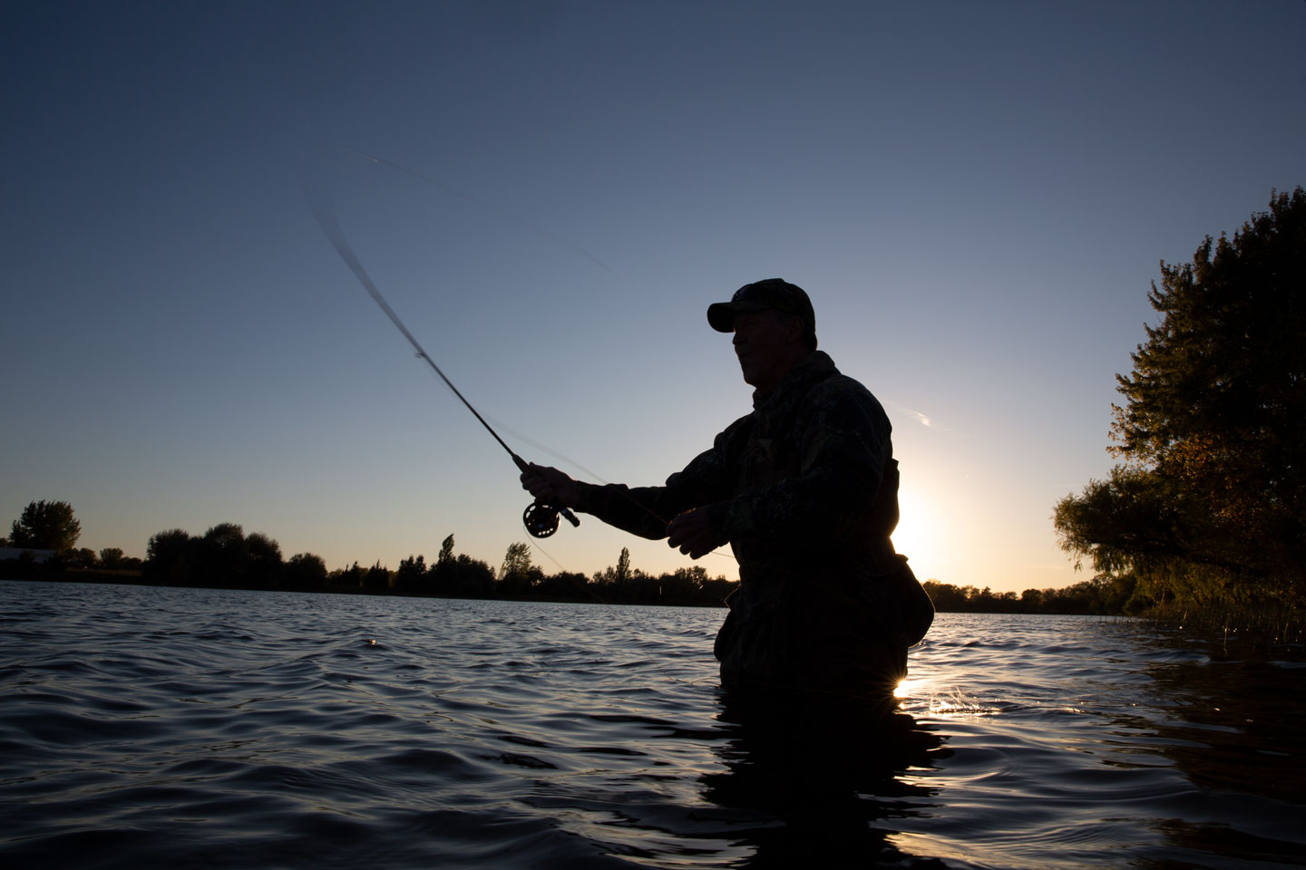
Discover places statewide where waters are open to public fishing.
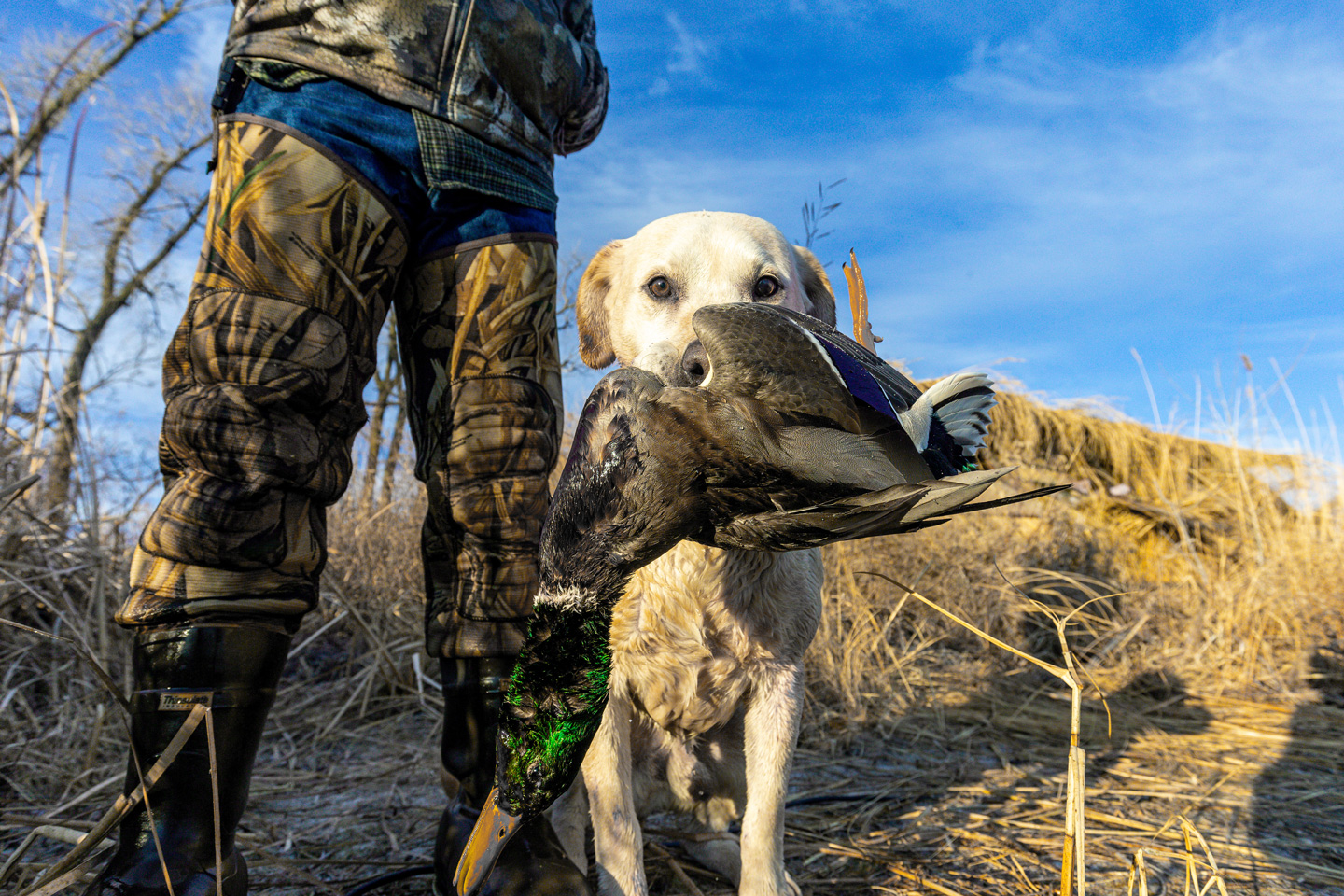
Learn more about Nebraska’s zones for hunting waterfowl during season.

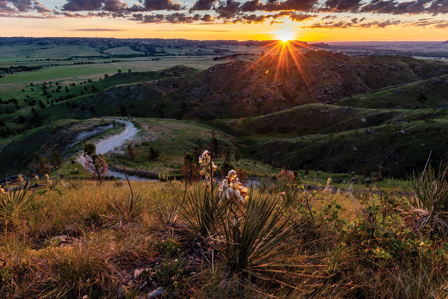
Discover more than 70 state parks and recreation areas across the state.
Discover hiking, biking and equestrian trails maintained at Nebraska state parks.
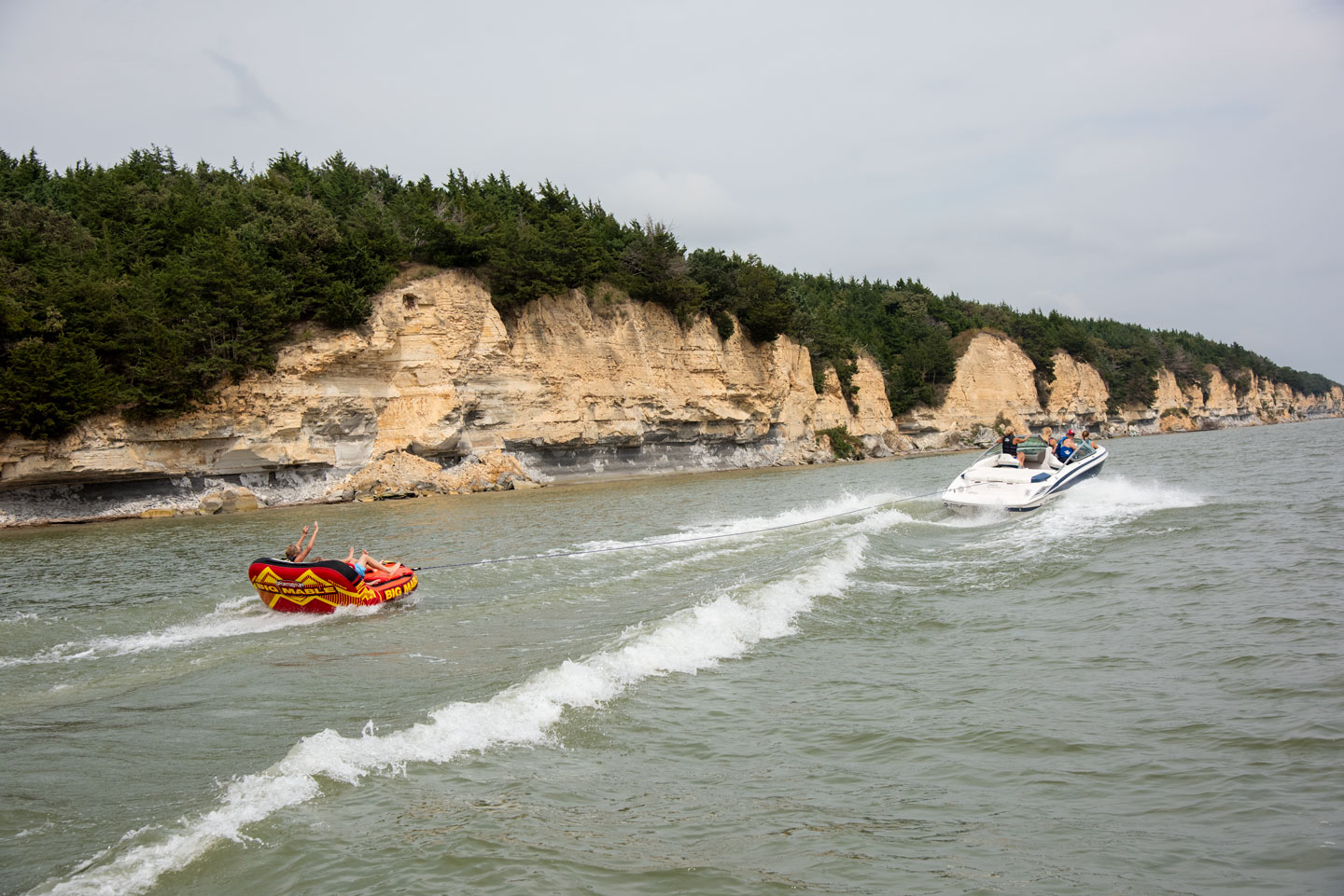
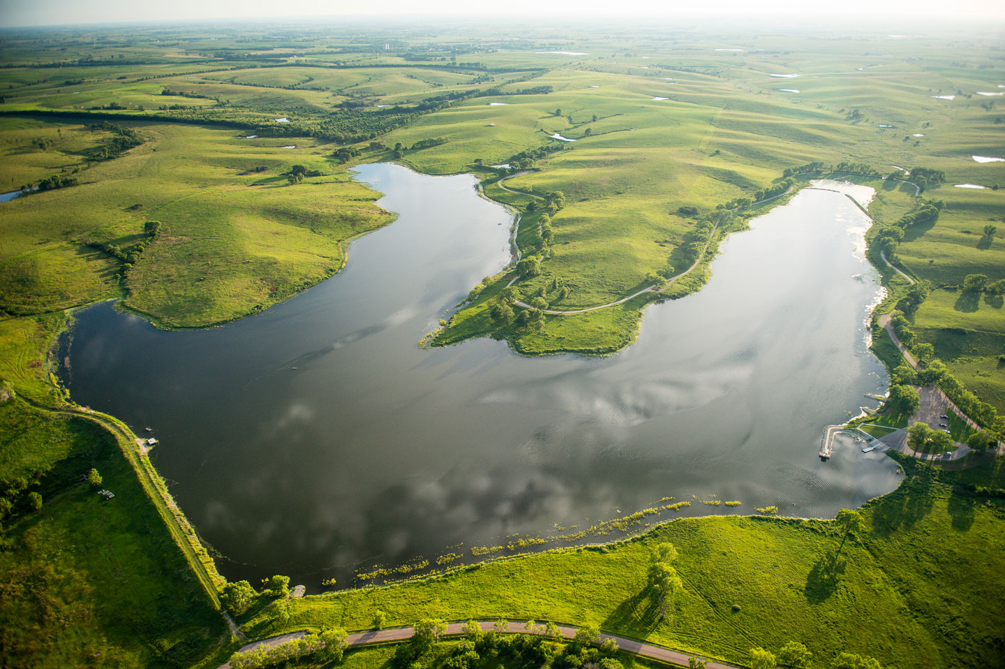
Discover water bodies across Nebraska that are open to public boating.
Find the underwater landscape of Nebraska Game and Parks’ lakes, including fishing features.
Priority landscapes have been identified that, if properly managed, would conserve the majority of Nebraska’s biological diversity.
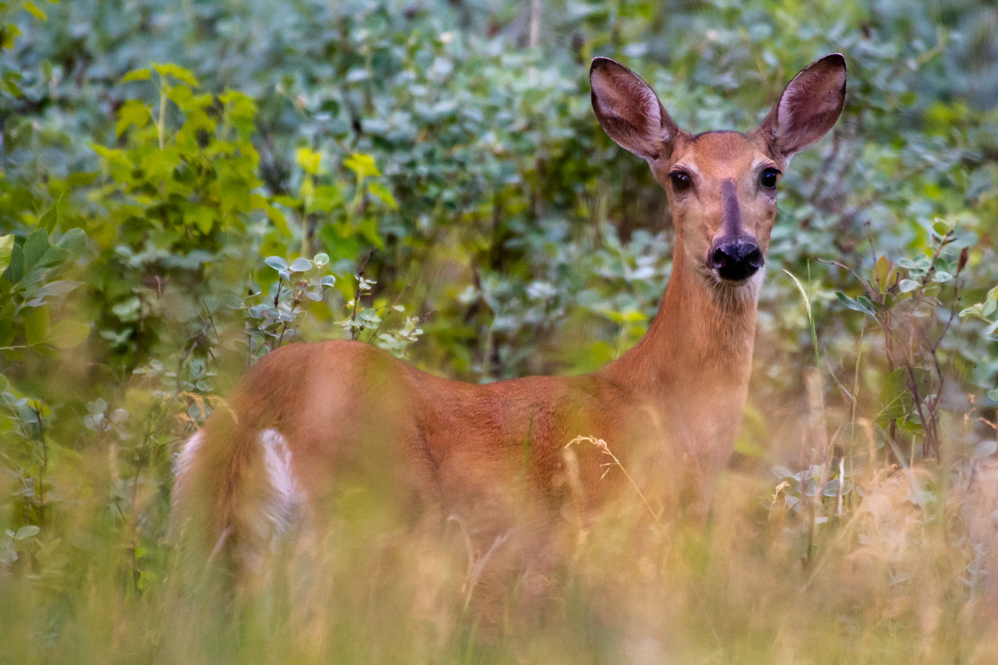
Find locations checking big game, including white-tail and mule deer.
Find public access sites where you can launch your boats on the Missouri River.
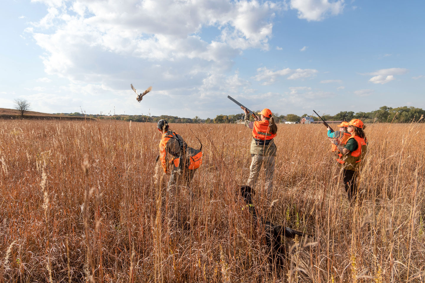
Find controlled shooting areas which can offer upland hunters a longer hunting season.
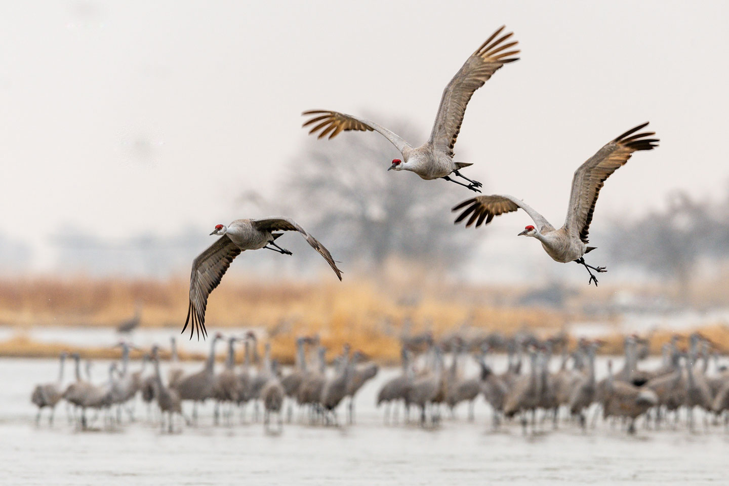
View the best birding locations throughout the state on this interactive map.
Information displayed on these maps is furnished as a public service by the Nebraska Game and Parks Commission and intended to be used for reference only. Every reasonable effort has been made to ensure the accuracy and completeness of the data provided. However, the Nebraska Game and Parks Commission makes no warranties either expressed or implied, concerning the accuracy, completeness, reliability, or suitability of this data for any use other than display. Furthermore, the Nebraska Game and Parks Commission assumes no liability for the use or misuse of the information contained in these maps or services.
Find authoritative spatial data related to conservation, fish and wildlife management, parks and outdoor recreation in Nebraska available for download and use.
Find all of our interactive GIS maps listed above, along with additional information, tools and resources.
Find additional maps Nebraska Game and Parks releases via PDF, including season maps and campground maps.
Hunting season firearm and antlerless only maps and regulations.
Hunting season unit maps and regulations.
Hunting season unit maps and regulations.
Visit your state park of interest to find a detailed campground map.