Cowboy Trail
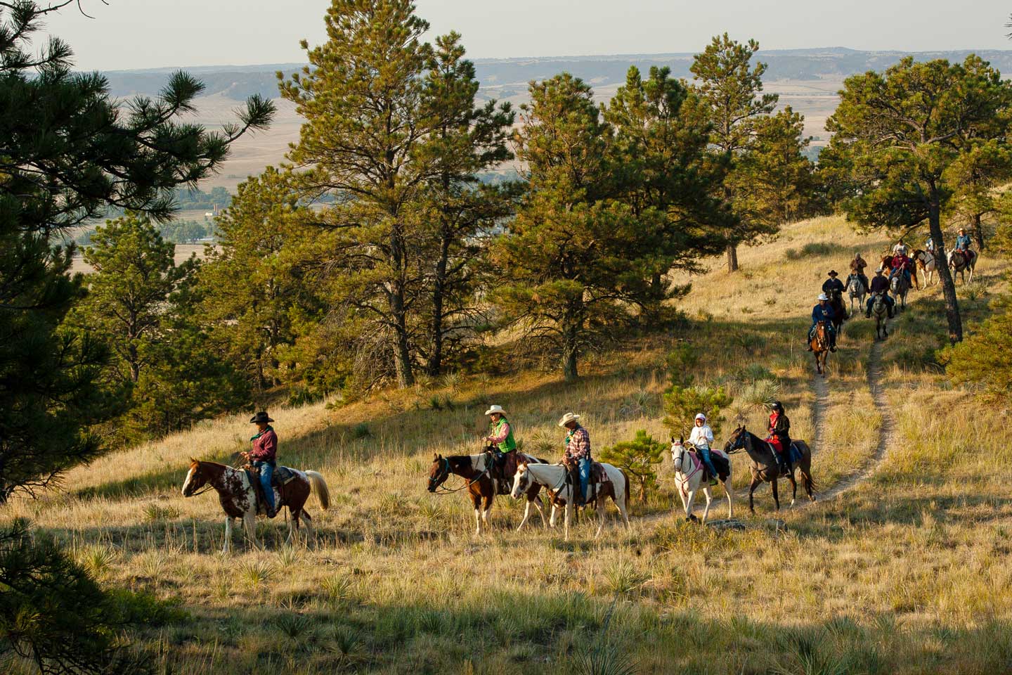
Spanning a sizeable chunk of the Great Plains, the Cowboy Recreation and Nature Trail offers a wide range of experiences: perhaps a refreshing retreat for an evening walk, a fun weekend adventure on bicycles, a challenging route for long-distance runners, or even a convenient way to explore northern Nebraska on horseback.
Rails-to-Trails project
Born from the Rails-to-Trails project, which transformed abandoned railroad corridors into accessible pathways, the Cowboy Trail stands as a remarkable achievement in the preservation of history and the promotion of recreation.
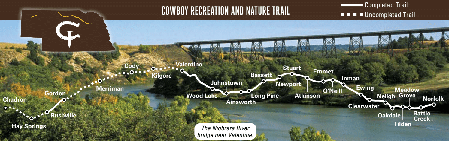
Beginning in Norfolk and spanning 317 miles west to Chadron, this is one of the largest Rails-to-Trails projects in the United States. The trail is developed between Norfolk and Valentine, consisting of 187 miles of crushed limestone surfacing. Recently, an additional 15 miles of trail has been developed between Gordon and Rushville.
Know before you go
Keep these tips, details and etiquette reminders in mind before venturing out on the trail.
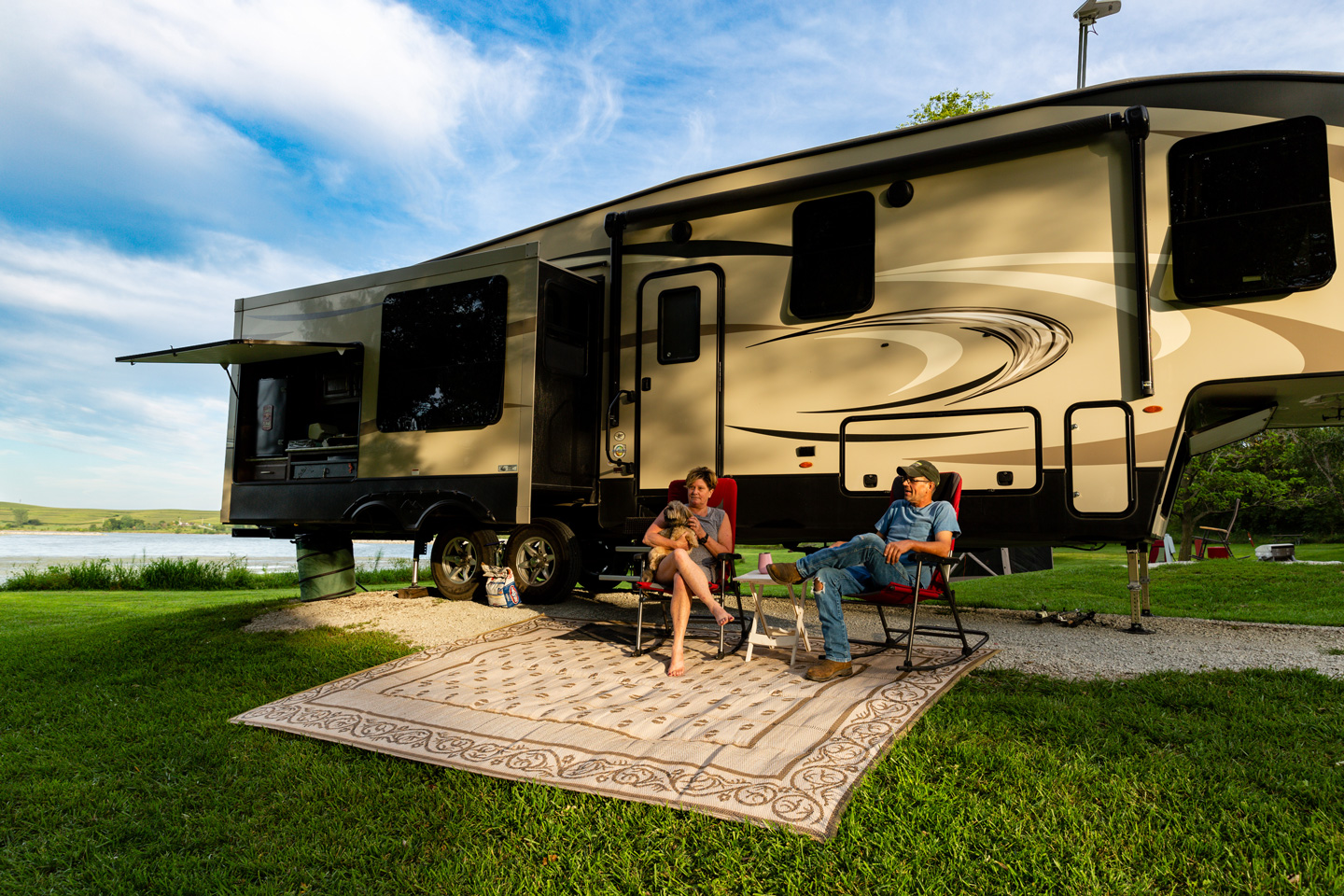
The Cowboy Trail passes through 30 communities of varying sizes and offerings, most located 10 to 15 miles apart on the trail. Almost all have a place to camp, have a meal, restock supplies and shopping. Use the QR code on town signs along the trail for local visitor information and events.
- Trail surface is mostly crushed limestone, wood decked bridges and concrete segments in Valentine, Ainsworth, O’Neill and Norfolk.
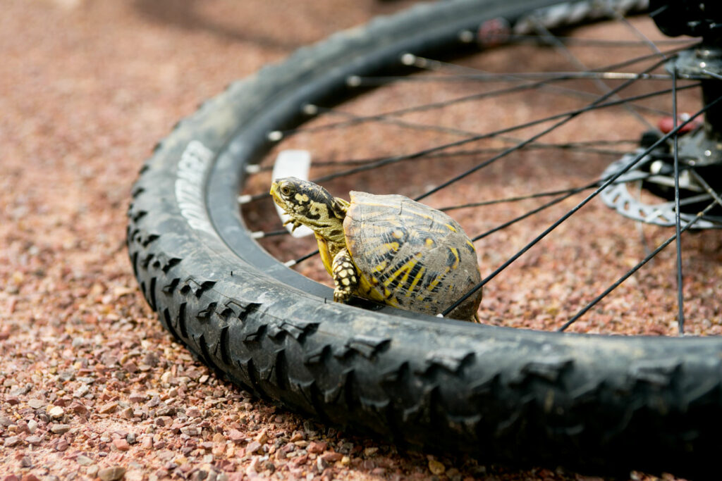
- Generally mountain or hybrid bikes are best for riding, or anything with a wider tire.
- Class I, II, III e-bikes are permitted.
- At times, tiny Texas sandbur seeds (puncture vine) are carried by wind or wildlife onto the trail. These are unavoidable and cyclists should consider bringing several tire tubes for their ride.
- Trail hours are one-half hour before sunrise to one-half hour after sunset.
- Motorized vehicles, UTVs, ATVs, tractors, etc. are not permitted.
- Respect private property; stay on the trail and other public property.
- Obey traffic signs. Vehicles have right of way at road crossings.
- Cyclists give right-of-way to all other trail users, while hikers yield to horseback riders.
- Announce presence when passing and pass on the left.
- All pets must be on a leash no longer than 6 feet.
- Drinking alcoholic beverages is prohibited, and littering is subject to a $100 fine.
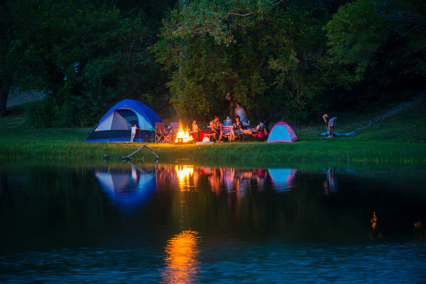
- Camping, fires, hunting and use of firearms is also prohibited.
- Horseback riders, please ride on the mowed trail edge.
- Leave no trace; respect wildlife.
- Bring a friend – avoid running, walking, biking or riding by yourself.
- Tell someone your trip plans and know your location.
- Bring a cellphone and ID.
- Carry a whistle and/or pepper spray.
- Pack water, sunscreen, bug spray and a first aid kit.
- Check the weather; Nebraska weather can vary widely through the year.
- Seek shelter in the event of sudden severe weather.
- Be prepared for mechanical issues or getting a flat tire.
- Cyclists and horseback riders should wear a helmet at all times.
- Do not climb on the bridges.
- For emergencies, call 911.
For current closures and conditions of the Cowboy Trail, view the interactive trail map. Please stay off bridges and trail segments that are closed.
Nature on the trail
Regardless of where you enter and exit, travel the Cowboy Trail and you will soon be immersed in nature. The eight-foot wide ribbon of crushed limestone and wooden bridges cut through a right-of-way, normally 100-feet wide, which provides important cover for wildlife and pockets for native prairie plants. While species differ along the route, rabbits, ground squirrels, pheasants, quail and many songbirds find suitable habitat through much of the trail’s course. The corridor is alive with the sounds and sights of creatures, large and small, often missed by travelers in closed cars moving at 60 or 65 mph. Bald eagles patrol the Elkhorn River valley and, farther west, turkey vultures soar on thermals above the Niobrara River. The corridor also functions as an important migration route for wildlife between habitat areas. In 2015, milkweed, which is essential for migrating monarch butterflies, was planted along several stretches of the trail.
Bridges
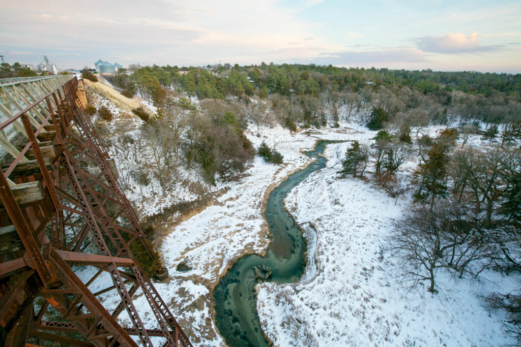
Every trail has its high points. The Cowboy’s signature sites are its long bridges offering spectacular views. East of Valentine, the former railroad bridge – a quarter-mile long and 148 feet high – spans the Niobrara River. Another bridge at Long Pine stretches 595 feet long and stands 145 feet high over Long pine Creek. Amazingly, there are over 200 bridges on the Cowboy Trail, all of which have been converted for recreational use.
Relics from railroad days
Today’s travelers on the Cowboy Trail, and on most other rail-trails, benefit from the work of surveyors and engineers a century ago. To accommodate the needs of locomotives, railroads were built with grades of two percent or less and with wide, sweeping curves. Those design elements are a blessing to the self-propelled human beings, especially at the end of a long day. On these trails, cyclists, hikers and horseback riders have fewer hills, dales and swerves than on most highways.
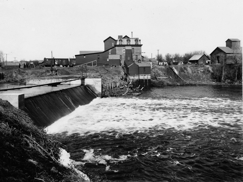
Along the Cowboy Trail, travelers discover many ghosts from the corridor’s railroad past. Some weathered mileposts, originally telegraph poles, stand as sentinels, and a few still mark the distance to Fremont, which was the eastern terminus of the original rail line. The towns and cities adjacent to the route, users will notice many buildings and structures that once served the railroad or businesses tied to the trail. One of the most prominent buildings along the trail is Neligh Mills, a water-powered grist-mill that is open to the public and still has its original 1880s equipment inside.
The only brick depot still standing is at O’Neill. This historical building, which was in a dilapidated condition for many years, has been handsomely restored. It now serves as a trailhead and is the home to the Holt County Economic Development. The Long Pine depot, a wooden building, is now restored and the crew quarters next to it is available to rent for overnight travelers. These buildings are representative of the many structures that once dotted the route.
Questions?
Contact Cody Dillon, NGPC Recreational Trails Staff via email or phone at 402-646-1668.
To report an issue with the trail, please fill out the Cowboy Trail Issue Reporting Form.