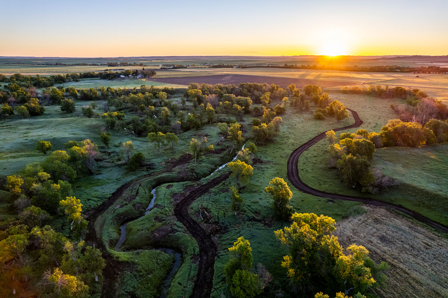
Nebraska Rivers and Streams
Rivers and streams are crucial to Nebraska, its residents and its wildlife for the role they play providing habitat and recreational opportunity.
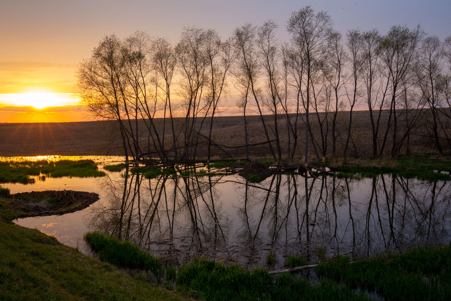
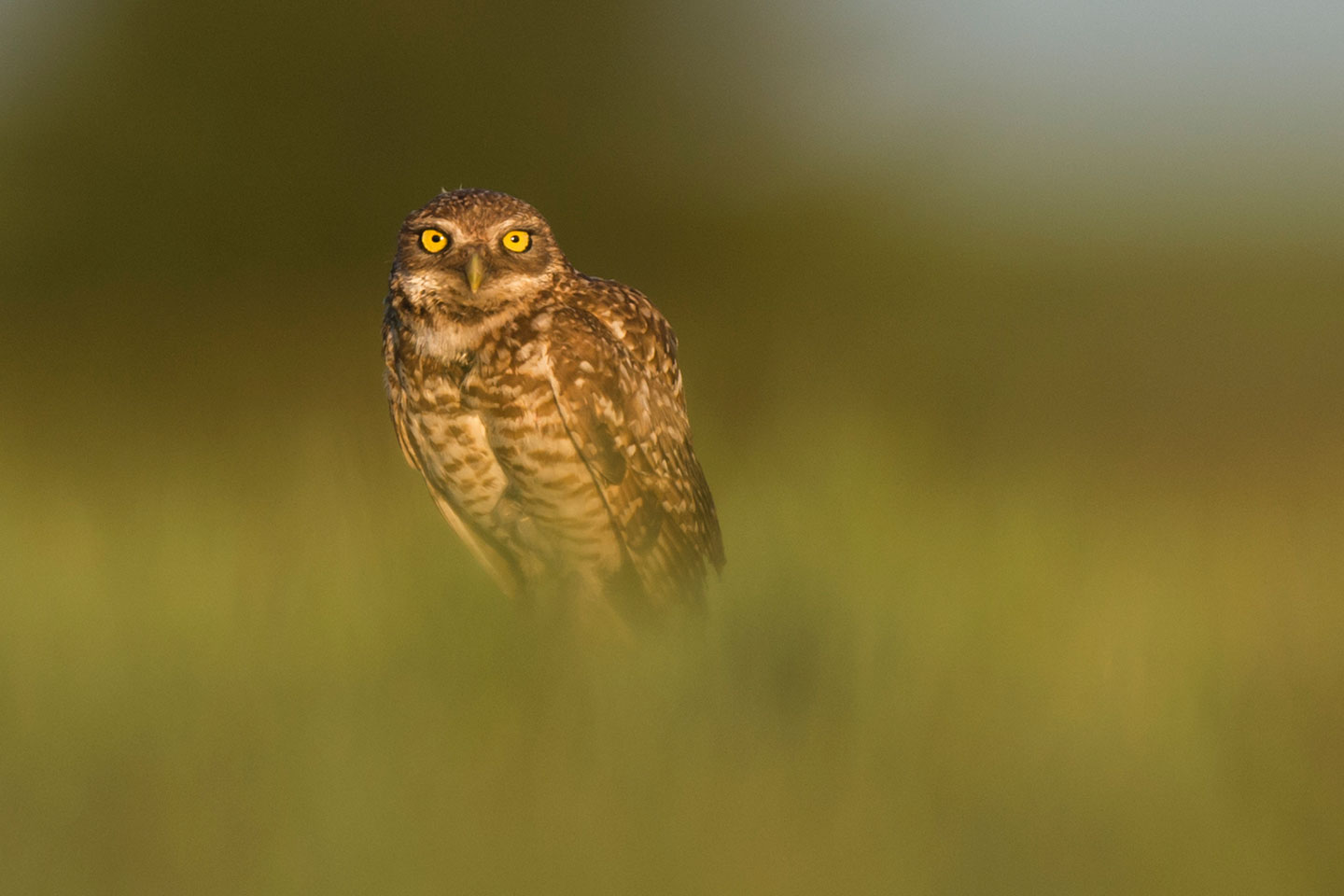
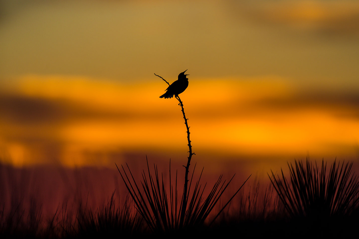
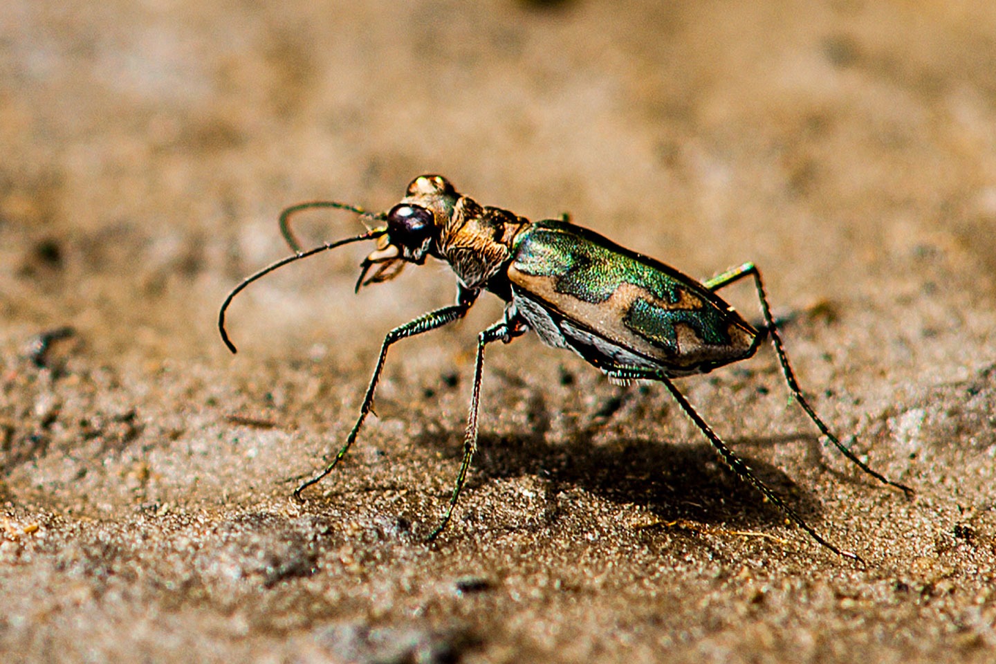
Rivers and streams are crucial to Nebraska and its residents. They provide habitat to numerous plant, fish and wildlife species, including many that are endangered or protected. They diversify the state’s economy and contribute to the quality of life enjoyed by Nebraskans. They are where many Nebraskans go to unwind – to fish, canoe or kayak, or just contemplate the beauty of nature.
The mission of the Nebraska Game and Parks Commission is to serve as stewards of the state’s fish, wildlife, park, and outdoor recreation resources in the best long-term interests of the people and those resources. To that end, under the direction of the Board of Commissioners, the commission in 2006 began conducting a series of scientific studies to determine the flow needs for maintaining healthy fish and wildlife populations, as well as for offering recreational floating opportunities on the Niobrara River.
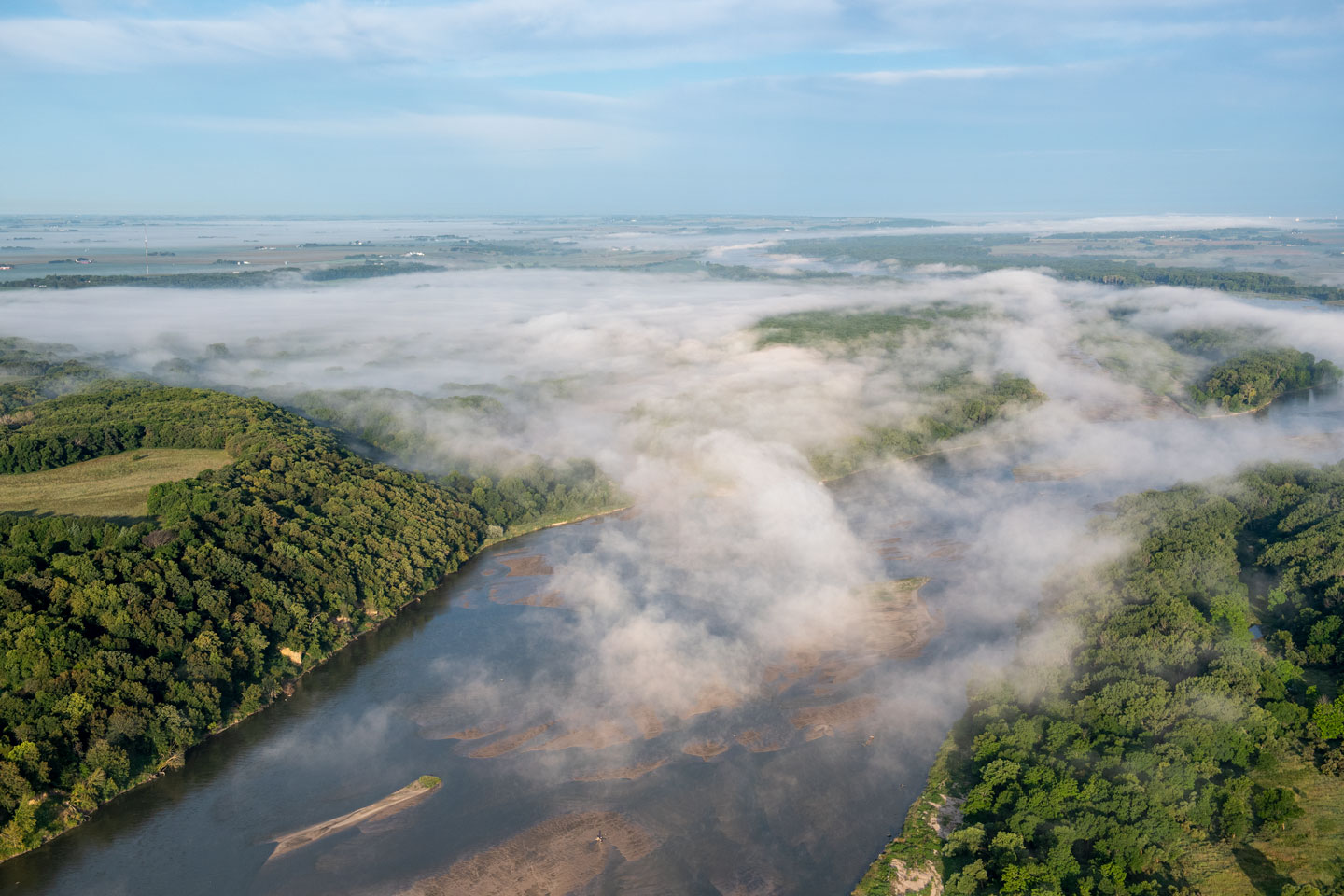
Niobrara River
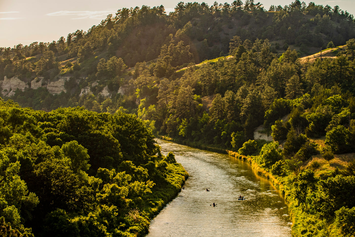
As far as rivers go, the Niobrara is one of Nebraska’s crown jewels. The Niobrara has a scenic river designation in the reach below Valentine; this designation helped lead to a boom in the tourism economy there, as tourists have visited to canoe, kayak, or tube. It provides roosting habitat for migrating whooping cranes and nesting habitat for terns and plovers. But this river lacks legal instream flow protection for recreation and public trust fish and wildlife resources. The Commission is working with the Nebraska Public Power District, the Upper, Middle and Lower Natural Resource Districts (NRD), and the Upper Loup and Upper Elkhorn Natural Resource Districts to remedy this situation. The general signed a Memorandum of Understanding and a River Management Agreement in September 2015 to work together to protect the Niobrara above Spencer Dam.
Although not a signatory agency, the National Park Service helped ensure adequate flows for recreational users were part of the state plan. From Spencer Dam downstream to the confluence with the Missouri River the Commission and the NRDs have agreed to apply for instream flow appropriations for fish and wildlife purposes. A formal public hearing was conducted at the Holt County Extension office in O’Neil in October 2015. More than 100 citizens attended and 23 provided input into this process. The applications were submitted to the Nebraska Department of Natural Resource in December 2015. The applications then went through an administrative process to determine if they meet state law requirements for instream flows.
In Nebraska, all water, both on the surface and underground, is owned by the state, and how we use this resource is determined by the Legislature. Because human, economic and social health are tied to the ecological heath of our state’s rivers, we must ensure each is managed sustainably and their vitality maintained for future generations. The following links provide an overview to how instream and out-of-stream uses affect recreation, industry, and wildlife that depend upon the Niobrara.
Game and Parks Commission staff presented these finding during public meetings in Chadron, Valentine, Butte and Lincoln in December 2014. The presentation staff gave at those meetings is available to the public online. These studies were also submitted to the Nebraska Department of Natural Resources as part of the instream flow application process.
Hydrological Data Analysis of the Niobrara River -2008
Erkan Istanbulluoglu
Download report
USGS – Hydrogeomorphic Segments and Hydraulic Microhabitats of the Niobrara River, Nebraska—With Special Emphasis on the Niobrara National Scenic River
Jason S. Alexander, Ronald B. Zelt, and Nathan J. Schaepe
Download PDF
Flows and Recreational Floating on the Niobrara National Scenic River, Nebraska
Doug Whittaker Ph.D. & Bo Shelby, Ph.D. of Confluence Research and Consulting
Download PDF
Economic & Social Values of Recreational Floating on the Niobrara National Scenic River – Final Report, July 2009
Steven Shultz, PhD University of Nebraska at Omaha
Download PDF
The Extent and Value of Agricultural, Municipal, and Industrial Water Use in the Niobrara Basin – Final Research Report, December 7, 2010
Steven Shultz, PhD University of Nebraska at Omaha
Download PDF
Developing Environmental Flows for Fish and Wildlife: A Mesohabitat Study on the Niobrara River – Revised Final Report, June 2014
Piotr Parasiewicz, Mark Pegg, Joseph Rogers, Adam Behmer, Allan Eldridge
Download PDF
Nebraska Game and Parks staff traveled throughout the Niobrara basin and to Lincoln to share the findings of the above studies. This Summary Presentation was shared in Chadron, Valentine, Butte and Lincoln.
Download PowerPoint notes PDF
Download PowerPoint slides PDF
Missouri River
Water Conservation and Management
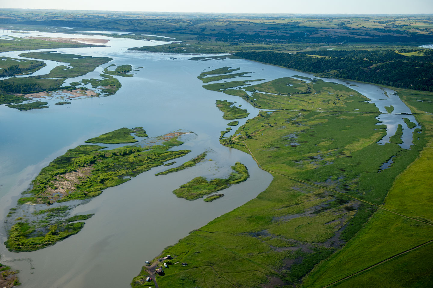
All rivers in Nebraska empty into the Missouri River at some point. It is the largest river in the basin and provides many ecosystem goods and services to mankind. Although highly altered, proactive steps are being taken to help make it an economic engine for the states adjacent to it. Approximately 522,000 acres of fish and wildlife habitat were lost when the river was channelized and its banks stabilized between Sioux City, Iowa and St. Louis. Congress has authorized 166,000 acres of this habitat to be restored. A key tool is the mitigation authorities, which has acquired about 66,000 acres from willing sellers to date. Loss of habitat and management of water also contributed to the decline of the endangered pallid sturgeon, least tern and piping plover. The mitigation authority is being utilized with recovery efforts to improve habitat conditions and help prevent additional species from being listed.
The U.S. Army Corps of Engineers has most of the sales to acquire the land needed to develop fish and wildlife habitat from Sioux City, Iowa, to St. Louis, Mo.
To learn more about the Missouri River Recovery Program and view the many sites please visit the U.S. Army Corps of Engineers website.
Today, the Missouri River hosts a wide variety of interests and uses, all of which are considered in the Missouri River Recovery Program (MRRP). They include social, economic, historical and cultural uses such as agriculture, commerce, conservation, energy, environmental, natural resources, navigation, recreation, residential, urban uses and water supply. The interactive Missouri River Outdoor Recreation Access Guide shows public access sites for fishing, hunting, boating, camping and more on the Missouri River. It also serves as a navigation guide.
Platte River
Platte River is another important river, bringing South Platte water from Colorado and North Platte water from Wyoming into Nebraska before proceeding to flow across the state and empty into the Missouri River just below Omaha.
While heavily developed, the central reach in Nebraska is 417,000 acre-feet of water short on an annual basis. The states of Colorado, Wyoming, and Nebraska and federal, state, and local entities are working on sustainability of the river through the Platte River Recovery Implementation Program. The Central Platte Natural Resource District and Game and Parks Commission have obtained instream flows for fish and wildlife purposes for the reach from Lexington to the confluence with the Missouri River. Local NRDs are also developing integrated management plans and basin plans to more effectively manage surface and groundwater sustainably. The Commission obtained instream flow appropriations for fish and wildlife purposes in 1993. A provision in state water law meant that the original purposes for which the instream flow appropriations had been granted had to be reviewed in 2013. The following links demonstrate the background of the natural resources and the information submitted to the Department of Natural Resources to justify keeping the appropriations for public trust fish and wildlife species. Because all cities along the Platte in Nebraska have their well fields in the hydrological connected alluvium, it is imperative that Platte River flows be protected not only for fish and wildlife purposes, but also for all citizens living along its course.
The five year review of Nebraska Game and Parks Commission Instream Flow Appropriations on the Central and Lower Platte River are listed below.
- Instream Flows Q&A – Questions and Answers on Instream Flows
- Correspondence – Game and Parks Letter to Nebraska Department of Natural Resources
- Enclosure 1 – Beneficial Uses and Public Interest
- Enclosure 2 – Platte River Catfish Population Dynamics and Tagging Study 2010
- Enclosure 3 – Platte River Catfish Population Dynamics and Tagging Study 2011
- Enclosure 4 – Confirmed Nebraska Whooping Crane Records 1942- 2010 and critical habitat
- Enclosure 5 – Legal and Public Notices Pursuant to 15 year review
- 15 year review – Order granting continued use of Platte River instream appropriations
Watershed assessments
Nebraska Game and Parks collaborates on river assessments to gauge watershed affects from proposed diversions, stream flow or other river changes.
Cool Water Streams
Cool water streams account for less than 28 percent of all stream miles in Nebraska, but they are still a tremendous resource. Good land stewardship has preserved the relatively pristine condition of some stream reaches, which provide habitat for a variety of aquatic organisms, including native and at-risk species, and angling opportunities for trout. However, these habitats remain extremely vulnerable to climatic changes, and are continually threatened by human disturbance as land and water use patterns change over time.
The Cool Water Stream Management Plan identifies goals for stewardship of cool water stream resources in Nebraska, and includes specific, attainable and measurable action items, which will be implemented by Nebraska Game and Parks Commission staff and partners.