Riverine wetlands
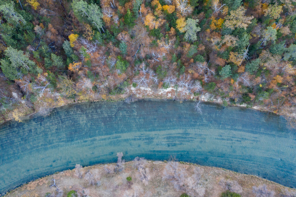
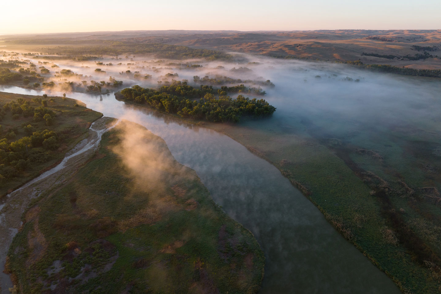
Riverine wetlands are found all across Nebraska — at the edges of rivers and along river floodplains, and they include small streams and creeks. These are complex systems made up of wetlands, sandbars, river channels, tree falls and organic matter, all of which make them biodiversity hotspots.
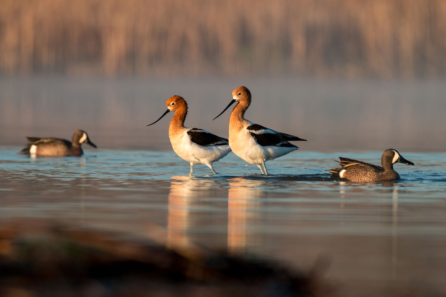
Because of their make-up, these wetlands produce invertebrates and other organic matter that provide energy and food to other parts of the streams and rivers. They provide spawning and nursery areas for many types of fish, mussels, amphibians and reptiles, and are home to numerous wildlife.
These wetlands are fed by snow melt in the Rocky Mountains, groundwater from the Ogallala Aquifer and other aquifers, and precipitation, and water levels in the core river system affect them.
Although some wetlands occur along all of Nebraska’s rivers, those associated with the Platte, Missouri, Niobrara and Elkhorn rivers contain the greatest river-associated wetland acreage left in the state. Other rivers were highly altered due to channelization and down-cutting, eliminating once extensive riverine wetlands.
Watch our riverine wetlands film
Follow Nebraska Game and Parks and the Platte Basin Timelapse crew to learn about Nebraska’s riverine wetlands, conservation efforts to protect them, and the species that rely on them to survive.
This documentary was produced in collaboration with the Platte Basin Timelapse project at the University of Nebraska-Lincoln by Grant Reiner. Find additional videos, interactive maps, recorded bird sounds, photo galleries of the plants and animals that depend on these wetlands, and a behind-the-scenes look at the making of this documentary in PBT’s Riverine StoryMap.
Well-known riverine systems
Central Platte River
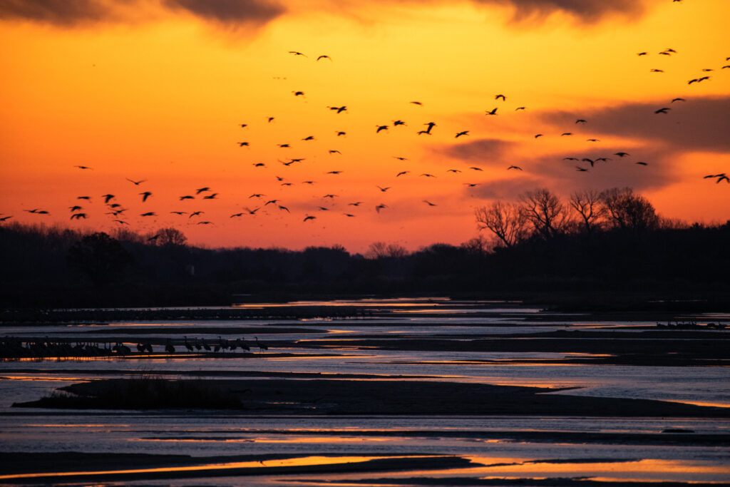
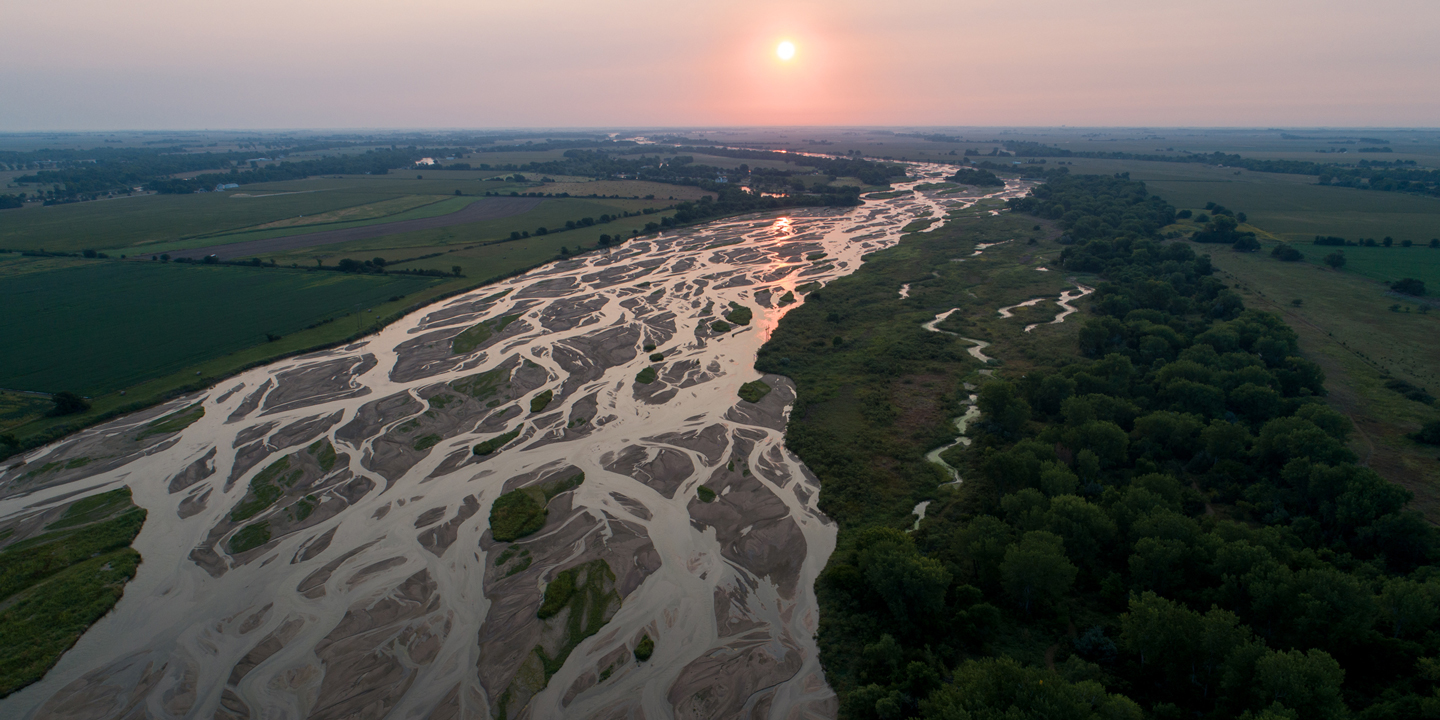
The Central Platte River, or Big Bend Reach, stretches about 90 miles from Lexington to Chapman. The area provides crucial habitat for migrating birds, including over one million sandhill cranes and millions of ducks and geese. It is also vital for several endangered and threatened species, including the whooping crane, least tern, and piping plover. The river recharges the Ogallala Aquifer, providing water for irrigation and communities. It also offers recreational activities like birdwatching, which contribute to the local economy.
The Central Platte River valley faces a conflict between agricultural development and the preservation of wetlands. Over time, reduced water flow, increased sediment, water quality changes, invasive species, sand and gravel mining, and agricultural expansion have significantly altered the river. These changes have led to a shift from open wetlands to shrub and forested areas, which are less beneficial for wildlife.
Conservation efforts to protect the Central Platte River have been underway since the 1970s and continue today. These efforts focus on preserving water flow, removing invasive plants, restoring grasslands and wetlands, and maintaining braided river habitats. As a result, conditions have moderately improved, with nearly 14,000 acres conserved by the Platte River Recovery Program over the past 15 years.
Platte Confluence
The Platte Confluence covers about 20 river miles from Sutherland to North Platte, including parts of the North and South Platte Rivers. Each spring, over 200,000 migrating sandhill cranes stop to feed and rest in the Platte Confluence and along the North Platte River. Endangered whooping cranes also pass through during migrations. The confluence is also crucial for wintering Canada geese and mallards. The area also offers abundant waterfowl hunting and fishing opportunities. The Platte Confluence, along with its aquifer, provides water for municipal and irrigation use, but river flow is heavily regulated, affecting natural groundwater supplies.
Since 1860, the river channel between North Platte and Lake McConaughy has shrunk by 85%. Wet meadow areas along the North Platte River have also decreased, with many meadows converted to irrigated farmland. The main threats to wet meadows include agriculture, groundwater depletion, and sand and gravel mining. Over time, these changes will continue to narrow the river, turning it from a wide, shallow channel to a narrow, deep one surrounded by uplands or scrub/forest wetlands.
Over the past 15 years, invasive trees like Russian olive have been removed from wildlife management areas along the confluence, and grazing and fire management strategies have been implemented. These efforts have opened up wetlands, making them more accessible to sandhill cranes and waterfowl. Further upstream, wetland restoration projects have had positive effects, benefiting wildlife in the area.
Lower Platte River
The Lower Platte River stretches about 100 miles from where the Loup River joins the Platte near Columbus to the Platte-Missouri River confluence south of Omaha. The river here flows in a more defined channel but still has many islands and sandbars. The wetlands along the Lower Platte River provide crucial habitat for migrating waterfowl, songbirds, and nesting birds like wood ducks, bald eagles, and Louisiana waterthrush. Endangered least terns and threatened piping plovers nest on river sandbars and nearby areas. The river also supports endangered pallid sturgeon, sturgeon chub, and lake sturgeon near its mouth. These wetlands help filter water and manage flood flows, while providing drinking water to towns like Omaha and Lincoln. The Lower Platte River is heavily used for recreation, attracting 3-4 million visitors annually for hunting, fishing, and boating.
Wetlands and habitats along the Lower Platte River have experienced significant losses and face ongoing threats, similar to those in the Central Platte River. The main causes have been water diversion, urban expansion, agricultural conversion, sand and gravel mining, levee construction and floodplain development.
The Nebraska Game and Parks Commission runs a Wetlands Initiative Program to help landowners restore and improve wetlands. Additionally, the Wachiska Chapter of the Audubon Society owns Knott Prairie, a high-quality wet meadow and tallgrass prairie area that is rare in the region.
Missouri River
The Missouri River floodplain in Nebraska contains a mix of river and marsh-like wetlands, stretching over 300 miles from Boyd County to Richardson County. The river is home to several threatened and endangered species, such as the least tern and piping plover, which nest on sandbars. Although several native fish species are severely declining, the river still supports healthy paddlefish and catfish populations. The river’s wetlands also offer important migration habitat for waterfowl and shorebirds, with DeSoto National Wildlife Refuge focusing on this. Despite habitat loss, the river remains a home for over 300 bird species and several mammals, though species like beavers and muskrats have decreased. Intact wetlands reduce flood impacts, benefiting farmers and downstream communities.
Before the 1930s, the river was wild, with a diverse range of fish and wildlife, and had a braided, sinuous channel with many backwaters, sandbars, and wetlands. However, between 1930 and 1970, channelization and dams significantly altered the river’s natural flow. Some sections, like those near Boyd County and Ponca State Park, remain more natural, though still impacted by dams. Water management from dams has changed the connections between the river and wetlands.
The Missouri River Recovery Program, led by the U.S. Army Corps of Engineers, is working to fix damage done to habitats along the river. Eighteen projects have been completed or are in progress in Nebraska, with help from various partners, including the Nebraska Game and Parks Commission, tribes, and The Nature Conservancy. These projects focus on buying flood-prone lands and restoring wetlands, side channels and backwaters. Many landowners also joined a program to protect wetlands on their land. These efforts are improving wildlife habitats and providing better recreational opportunities.

